
 West Anglian Way: a long distance walk between Cambridge and London of 89 miles in 8 sections using the train stations on the Liverpool Street line.
The Cambridge Group has walked the West Anglian Way in the summer and autumn of 2025. The route closely follows three rivers, the Cam, the Stort and the Lee.
The walk was devised in 2002 by Janet and Roger Moreton of the Ramblers Cambridge Group and Mark Westley of the East Hertfordshire Group. In 2014 it was revisited and updated by Lisa Woodburn with Paul Cutmore and Jean Murray.
Stage 1 Cambridge to Whittlesford Parkway (11 miles) Starting from the station this follows the famous Hobsons Conduit that brought fresh water to Cambridge from Nine Wells in medieval times. The route goes along the DNA path to Great Shelford and Stapleford then crosses the River Granta to Sawston, and finally Whittlesford Parkway.
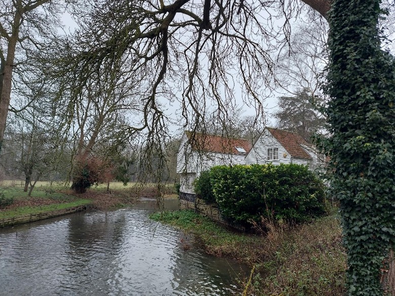
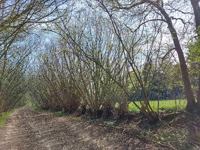
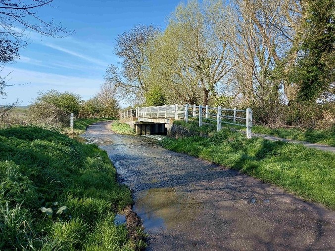
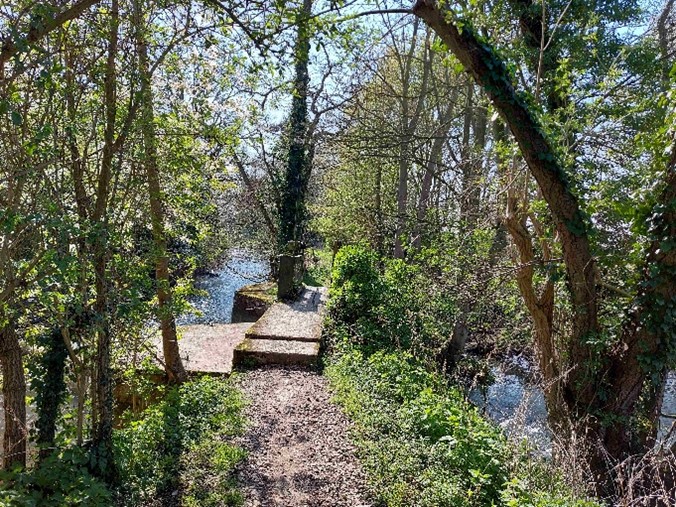
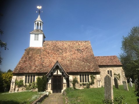
Stage 2 Whittlesford Parkway to Newport (12 miles) This walk passes through the village of Duxford, crosses the River Cam at Hinxton and the old water mill before passing through the attractive village of Ickleton (Gt Chesterford station 1½ miles away). There are great views from the chalk ridge that leads to Strethall with its isolated C11th church of St Mary, through an avenue of hazel trees to Wendens Ambo (Audley End station) and on to Newport.
Stage 3 Newport to Bishops Stortford (11 miles) This walk passes through the villages of Quendon with its quaint wooden church steeple and Rickling Green with its well-known pub The Cricketers, Stansted Mountfitchet (station) and joins the River Stort to approach Bishop’s Stortford.
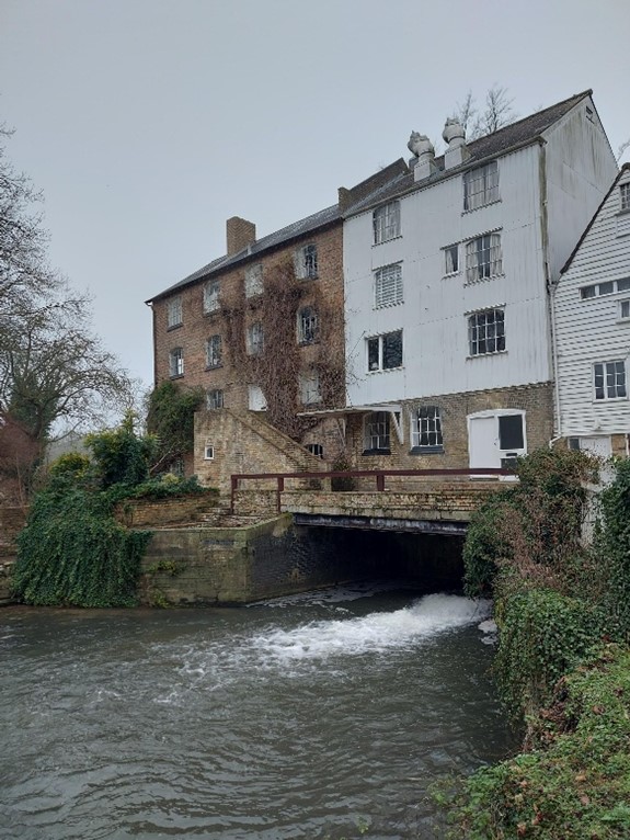
Stage 4 Bishops Stortford to Harlow Town (10 miles) This follows the Stort Navigation most of the way with a diversion into the historic town of Sawbridgeworth (station) followed by Pishiobury Park with its oak lined avenue.
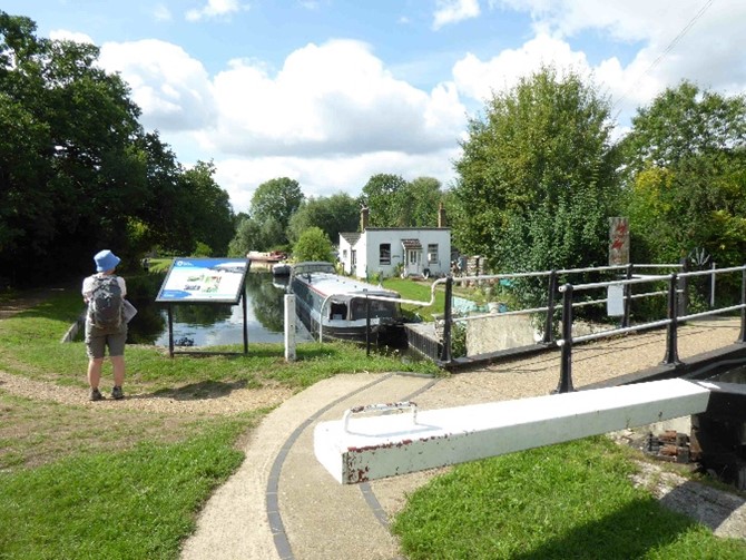
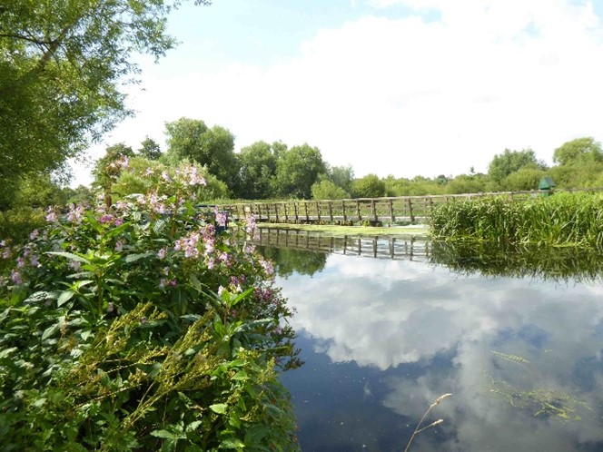
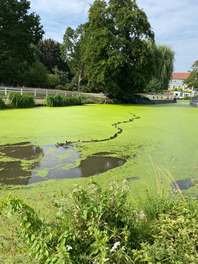
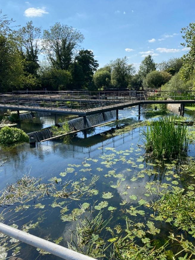
Stage 5 Harlow Town to Broxbourne (10 miles) This follows the Stort Valley Way through Parndon, Eastwick and Hunsdon Meads, flooded meadows, to Roydon. The path then swings away from the river onto higher ground near Halls Green, with expansive views of the Lea valley and plant nurseries to walk along Three Forests Way. Returning to the two path to cross complex weirs at Glen Faba and Dobbs Weir to join the New River into Broxbourne.
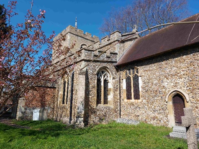
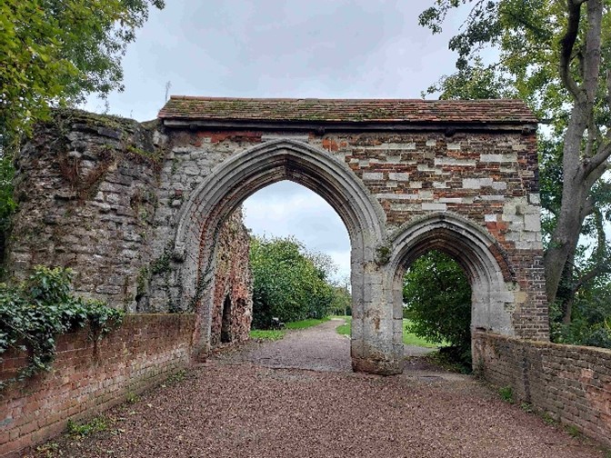
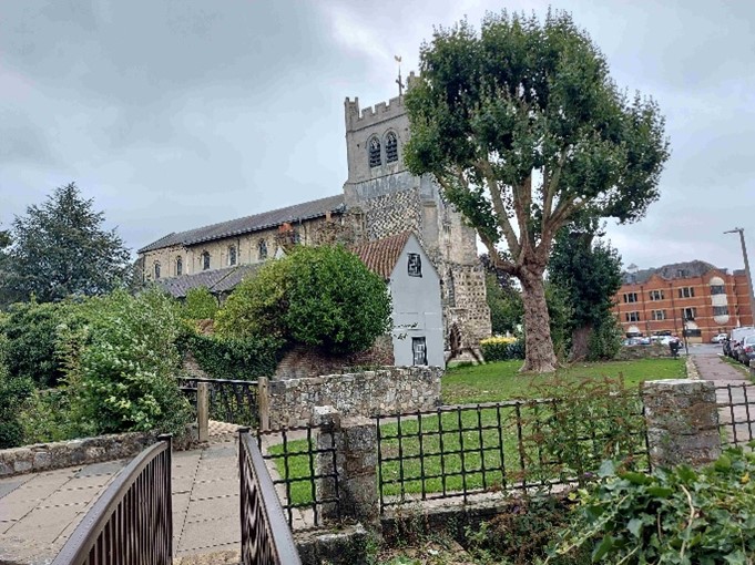
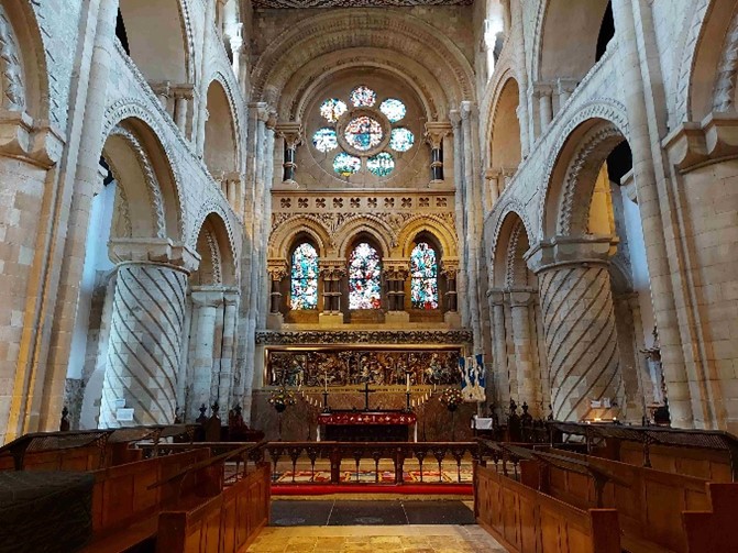
Stage 6 Broxbourne to Cheshunt (10 miles) This walk starts along the tow path of the New River then heads east across Nazing Marsh and climbs to a high point at Galley Hill. For those who are observant it passes six of the 210 coal duty posts that ring London. It then follows Cornmill steam with its two sculpted remains of the original London Bridge to Waltham Abbey and its impressive Norman church. Finally the walk passes Horsemill Stream and the Lea Navigation to Cheshunt.
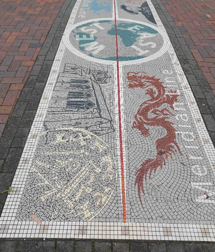
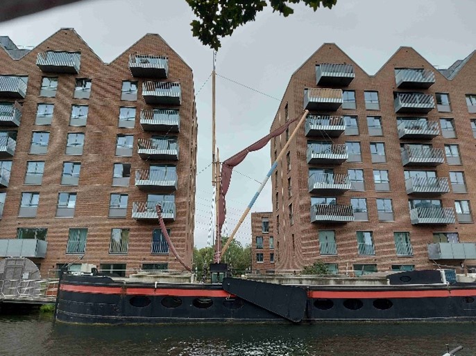
Stage 7 Cheshunt to Tottenham Hale (12 miles) Taking a different path from Cheshunt to Waltham Abbey this route closely follows the Meridian Line and Enfield Island Village. Then the path before passing through Gunpowder Park. It follows the Lee Navigation with its assortment of canal boats alongside four large reservoirs and ending in Tottenham Village.
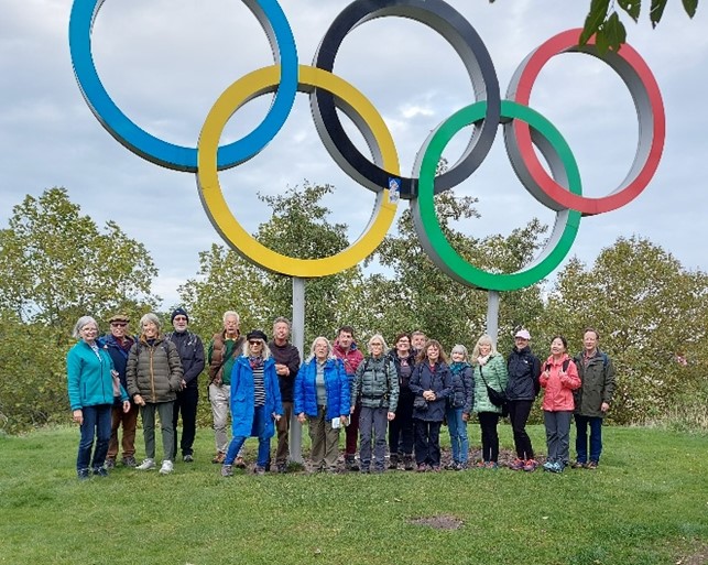
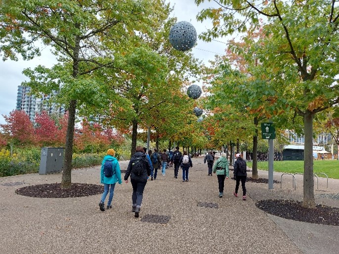
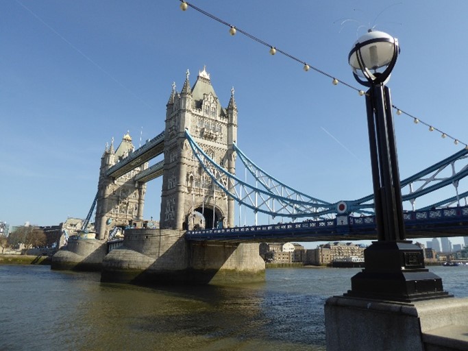
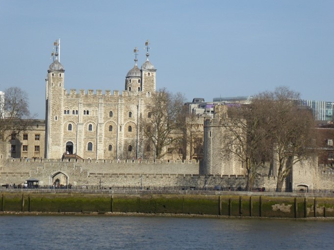
Stage 8 Tottenham Hale to Tower Bridge (12 miles) This final walk passes through Walthamstow Marshes, the Ice Rink and Hackney Marsh before entering the Queen Elizabeth Olympic Park. From Stratford Marsh and Mill Meads it follows Limehouse Cut to Limehouse Basin and along the Thames Path to Tower Bridge.
A detailed description of the route is available for £5 from Jane Crawford-White email: info@cambridgeramblers.org.uk
If you would like to see reports from the inaugural walks in 2002/2003, see CANTAB16 and CANTAB18.
Comment Header
Comment Footer